How to Plan a Car-Free Day Hike on the South Downs Way
The South Downs Way runs for a hundred miles along the chalk ridge from Winchester to Eastbourne, and for most of that distance there is a railway station or a bus stop within a few miles of the trail. Walking a day of it without a car is not a stunt. It is often the easiest way to do it.
What it does need is planning, because the trail and the transport do not always meet where you would like them to. Here is how to put a car-free day together, from choosing the section to catching the last train home.
The South Downs Way is linear, which normally means two cars, dropped keys and a long drive at the end of the day. Here the valleys do the work instead. The Arun valley line, the Seaford branch, the East Coastway and the Portsmouth Direct line all run close to the ridge, and there is a coastal bus corridor from Portsmouth through Chichester, Worthing and Brighton to Eastbourne.
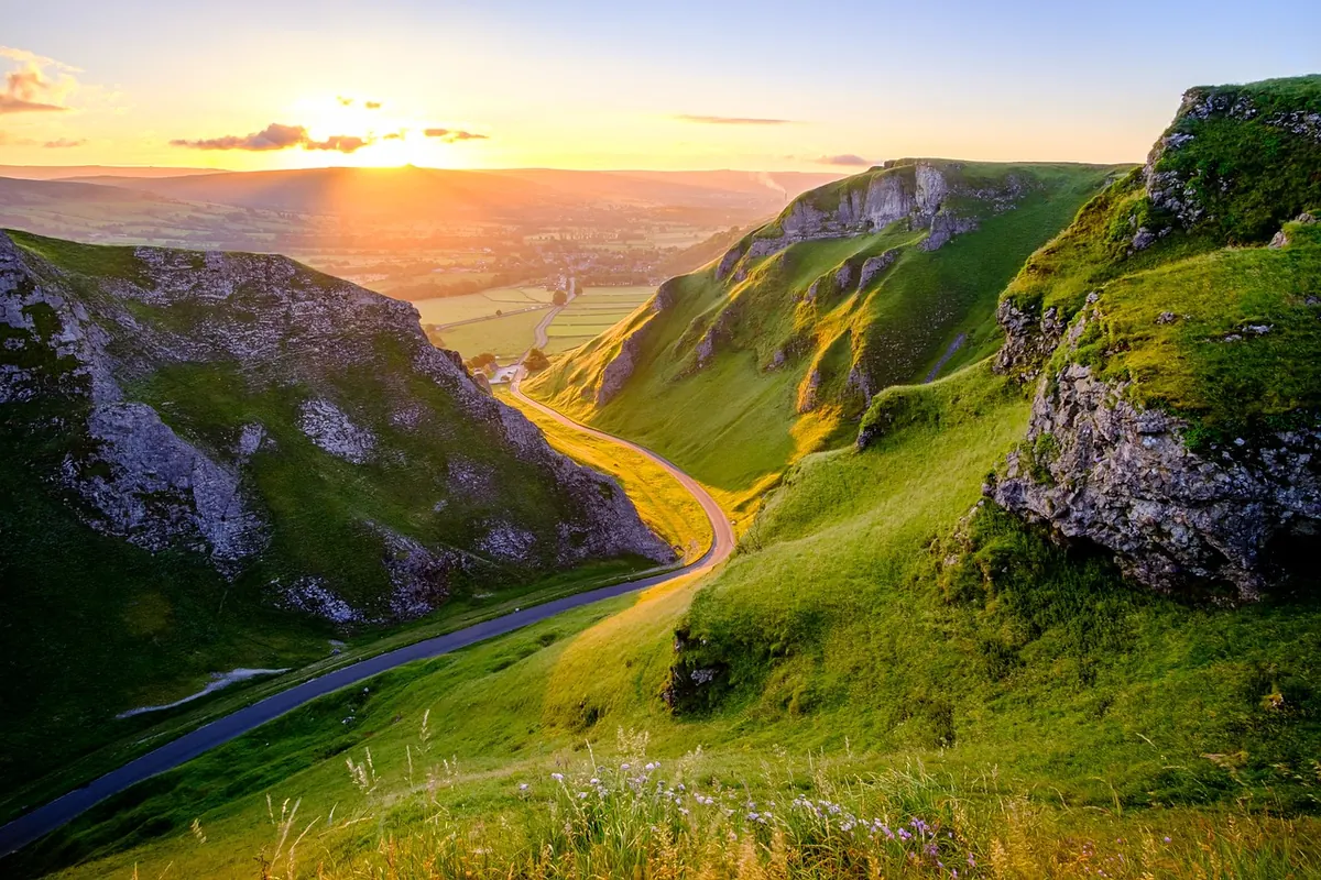
The trail itself follows the high ground, while the villages sit below it in the valleys — which is precisely where the stations are. You walk the ridge, then drop down to a platform.
Start with the transport, not the map. Pick the station you will arrive at and the station you will leave from, then find the walking route between them. Useful anchors along the way:
Distances from trail to station matter more than they look. A mile of road at the end of a long day feels like three.
Naismith's rule still works well on the Downs: allow an hour for every five kilometres, plus an hour for every 600 metres of ascent. The chalk ridges are not mountains, but a day on the South Downs Way usually includes several short, sharp pulls of 100 to 200 metres, and those add up.
Add an hour for lunch and another for the sort of dawdling that makes the day worthwhile. For most walkers, ten to twelve miles is a solid full day out; fourteen is a long one. In winter, daylight is the real constraint, so plan to be off the ridge well before dusk and carry a headtorch anyway. In high summer you can walk until nine in the evening, but the last train will not wait for you.
For a linear walk, two singles usually make more sense than a return, though an open return is worth pricing if you start and finish at the same station. Off-peak fares, Railcards and advance tickets can make a real difference, and where PlusBus is available it bundles local bus travel with your rail ticket.
Buses are the weak point. Rural services thin out sharply on Sundays and through the winter, and some summer routes only run at weekends. Identify your last viable bus or train before you set off, and give yourself a margin. A missed connection on a Sunday evening can turn a good day into an expensive taxi ride.
One health note: ticks are present on the Downs, particularly in longer grass and along woodland edges. Check yourself at the end of the day, and speak to a pharmacist or GP if you are worried about a bite.
Check the timetable twice, note the last two connections home, and tell someone your route. Buy your ticket before you reach a rural halt, where the machine may not exist. Fill your bottle at the station. Then walk east or west, eat your sandwiches somewhere with a view, and catch the train back with the mud still on your boots.
Photo: Pexels / Pixabay